


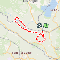

13,3 km | 19,3 km-effort

Gebruiker


Gratisgps-wandelapplicatie
 SityTrail
IGN / Geografische instituten
SityTrail World
De wereld gaat voor u open
Tocht Stappen van 15,1 km beschikbaar op Occitanië, Pyrénées-Orientales, La Llagonne. Deze tocht wordt voorgesteld door crijack.
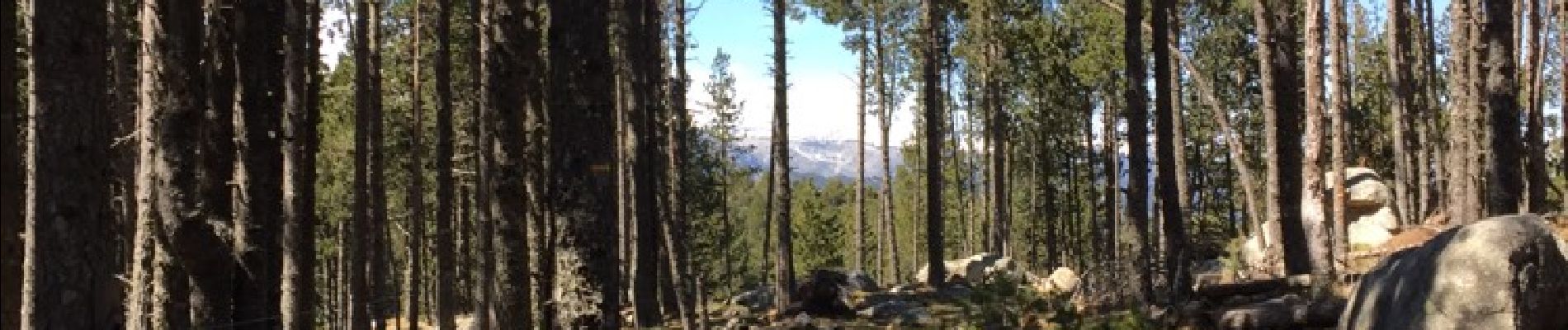
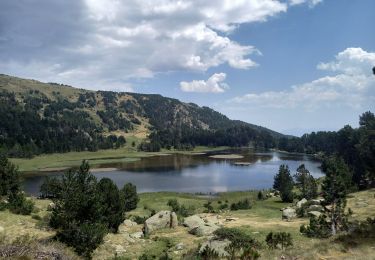
Randonnée sympa en forêt pentes douces et beaux points de vues surtout au refuge du Pla del Buc


Stappen

Sneeuwschoenen

Sneeuwschoenen

Stappen

Sneeuwschoenen

Stappen

Mountainbike
Stappen

Stappen
Superbes paysages. Rando sympa et facile.